|

 The Paiute ATV Trail System
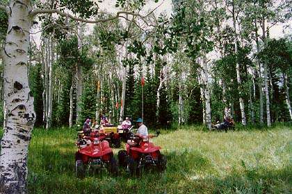
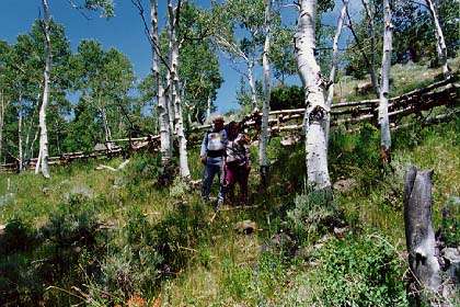
Trail 01, In an Aspen Grove, North of Manning Reservoir &
East of Marysvale.
Trail-02, Marysvale Loop, Dry Creek Canyon with the Falls
in the background.
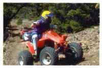
Trail-01, North End Of Tibadore.
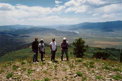
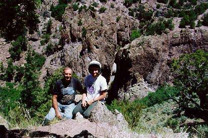
Overlook South of Paiute Reservoir & West of Junction Utah.
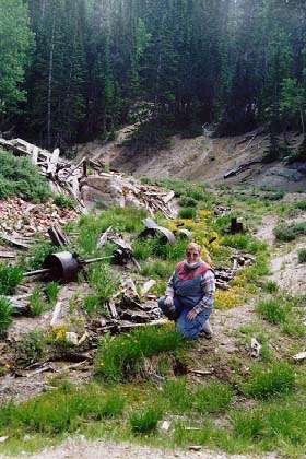
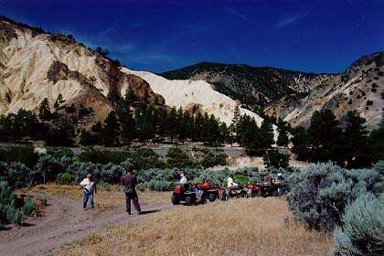
Exploring an Abandoned Mining Mill Site on a Side Trail along
Cottonwood Creek
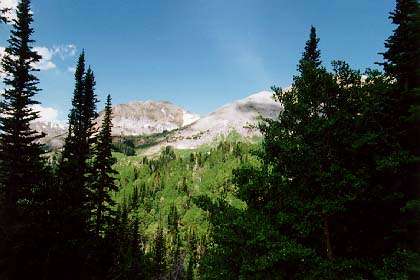
Mount Baldy
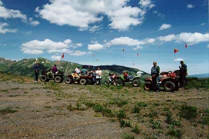
Trail-01, At the Timberline West of Marysvale, Utah.
Mount Baldy in the Background
Another View of Trail-01 at the Timberline West of Marysvale,
Utah.
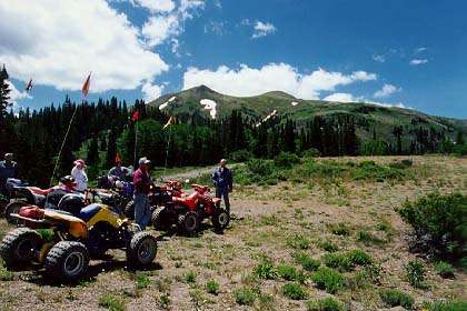
And Yet Another View of Trail-01 at the Timberline
West of Marysvale, Utah. MT. Baldy in the Background.
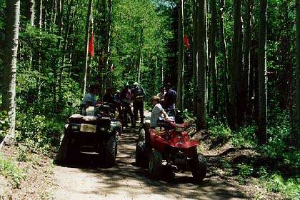
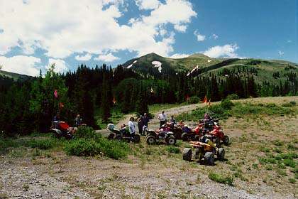
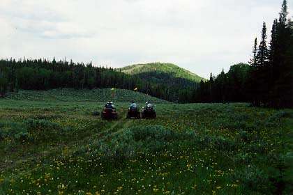
Trail-01, Langdon Mountain, Between Dry Creek & the Big Knoll.
Trail-01, North of Pole Canyon Turn Off.
The Big Rock Candy Mountain
Looking West across the Sevier River.
( Yes, It Is The One The Songs About. )
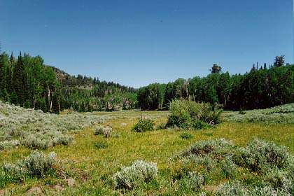
A Pleasant Valley Near Box Creek Reservoir.
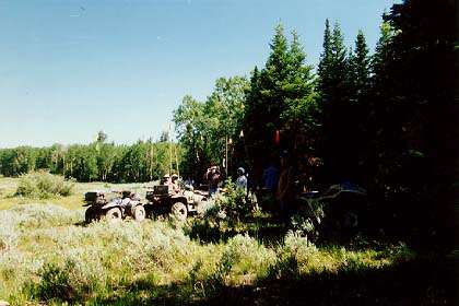
A Rest Stop Along the Trail Near Box Creek Reservoir.
The Meadows Near Box Creek Reservoir at Dusk.
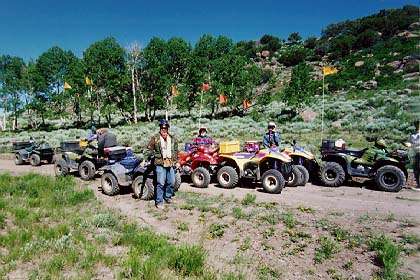
Trail-01, The North End of Tibadore Mountain.
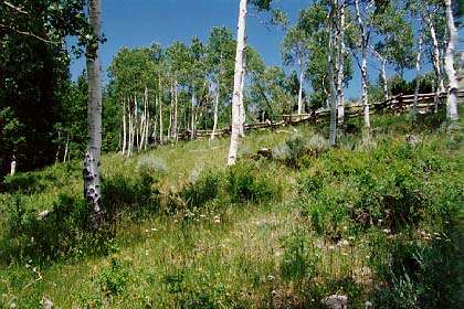
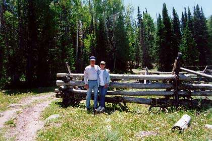
Trail-01, Aspen Pole Fence Line
The North End of Tibadore Mountain.
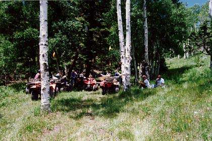
Lunch Break in Cottonwood Canyon.
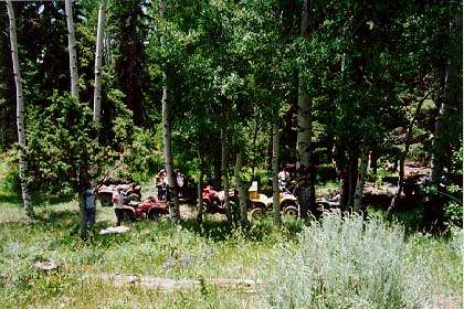
Cottonwood Canyon South of Marysvale, Utah.
continued next page
Last changes:
Thursday, December 09, 2010
|